Driving to the Macedon Ranges
The Macedon Ranges is connected by major road and rail systems and can be reached in less than an hour of leaving Melbourne.
Melbourne International Airport is only a 30 minute drive from Gisborne via Sunbury. From Gisborne, the Macedon Ranges region spreads northward. The Calder Freeway, connecting Bendigo and Melbourne, runs through the spine of the Macedon Ranges.
There’s also major connecting roads that offer easy access to villages from the Hume Freeway, Western Freeway, Tullamarine Freeway and Melbourne’s international airport.
Travelling by car
From Melbourne, follow the Citylink signs pointing ‘to Bendigo via the Tullamarine Freeway‘.
Note: An E-tag is required to pass through the Citylink tollway system. Car hire companies will provide E-tags in their arrangements or call Citylink on 13 26 29 to arrange a day pass.
Once on the Tullamarine, follow the signs to Bendigo until you reach the Gisborne turn off. From here you can either traverse back roads through peaceful countryside. Or continue past the Gisborne turn off until you reach the exit for your village of choice.
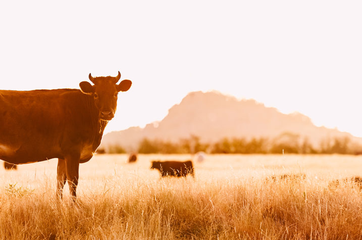
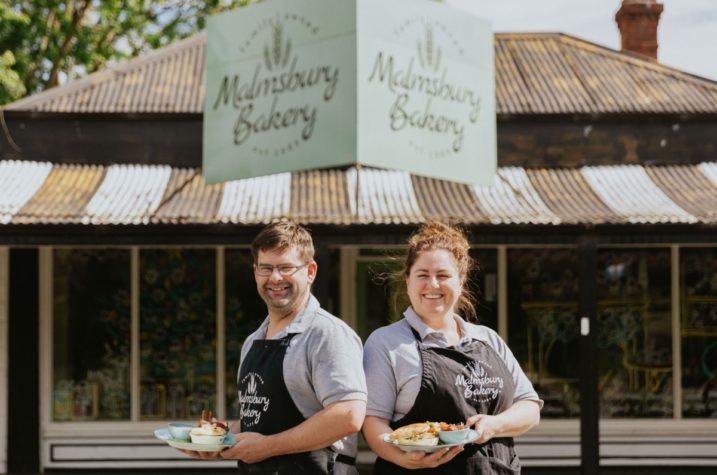
If travelling from the direction of Bendigo, your first turn off to the Macedon Ranges is Malmsbury. This is a very pretty village that connects to the large town of Kyneton via scenic back roads.
Average distances
|
AVERAGE DISTANCES FROM |
DISTANCE IN KILOMETRES |
APPROXIMATE DRIVING TIME |
| Melbourne City | 70kms | 55mins |
| Tullamarine Airport | 50kms | 48mins |
| Bendigo | 80kms | 67 mins |
| Ballarat | 81kms | 75mins |
| Daylesford | 41kms | 42mins |
| Kilmore (Hume Highway) |
23kms | 30mins |
| Melton | 42kms | 35mins |
Macedon Ranges maps
Download our regional map to get the big picture of the region or view our interactive map of the Macedon Ranges.
Have a specific question about how to get to the Macedon Ranges?
Our Visitor Information Centres are here to assist. Give us a call on 1800 244 711.
Historic village driving itinerary
Go on a 75 minute scenic village drive from Woodend to Malmsbury taking in five historic villages along the way.
Read More