
More from Black Hill Reserve
Black Hill Reserve is located on 260 acres of rare bushland approximately 5km north of Kyneton. It is known for its amazing granite rock formations such as The Monolith, one of the biggest granite features in Victoria.
The reserve is also home to a variety of wildlife, including many bird species, wallabies, kangaroos, echidnas, phascogales, sugar gliders and possums.
There are a number of well-defined walking tracks for visitors to explore and enjoy the natural beauty of the reserve. A rotunda with covered seating near the entrance of the reserve is for visitors to relax and picnic. A small metal box at the entrance has brochures with a map setting out available walks.
Dogs are very welcome as long as they are on a lead at all times.
How to get to Black Hill Reserve
The Reserve is accessed by following Edgecombe Road, north from Kyneton for approximately 5 kilometres and turning right into Ennis Road. Ennis Road is a gravel road and follow this for around 500 meters to the entrance to the Reserve where parking is available.
Walks in Black Hill Reserve
Circuit Track: A gentle 3.9 km walk with only a few inclines. You might find it easier to walk in a counter clockwise direction, it just seems easier that way! Picnic tables are provided half way around the track, below the large Monolith rock in the north-east corner. Allow a good hour for this walk, more if you spend time enjoying the views or a picnic. In the spring look out for the wild flowers and orchids in the south-east section of this walk. Kangaroos are often seen in the paddocks adjoining the reserve, echidnas may be seen searching for ants, and sometimes wallabies come down from the higher parts of the reserve. Find a rock or a fallen tree to sit on, and enjoy the many varieties of birds that are all around you.
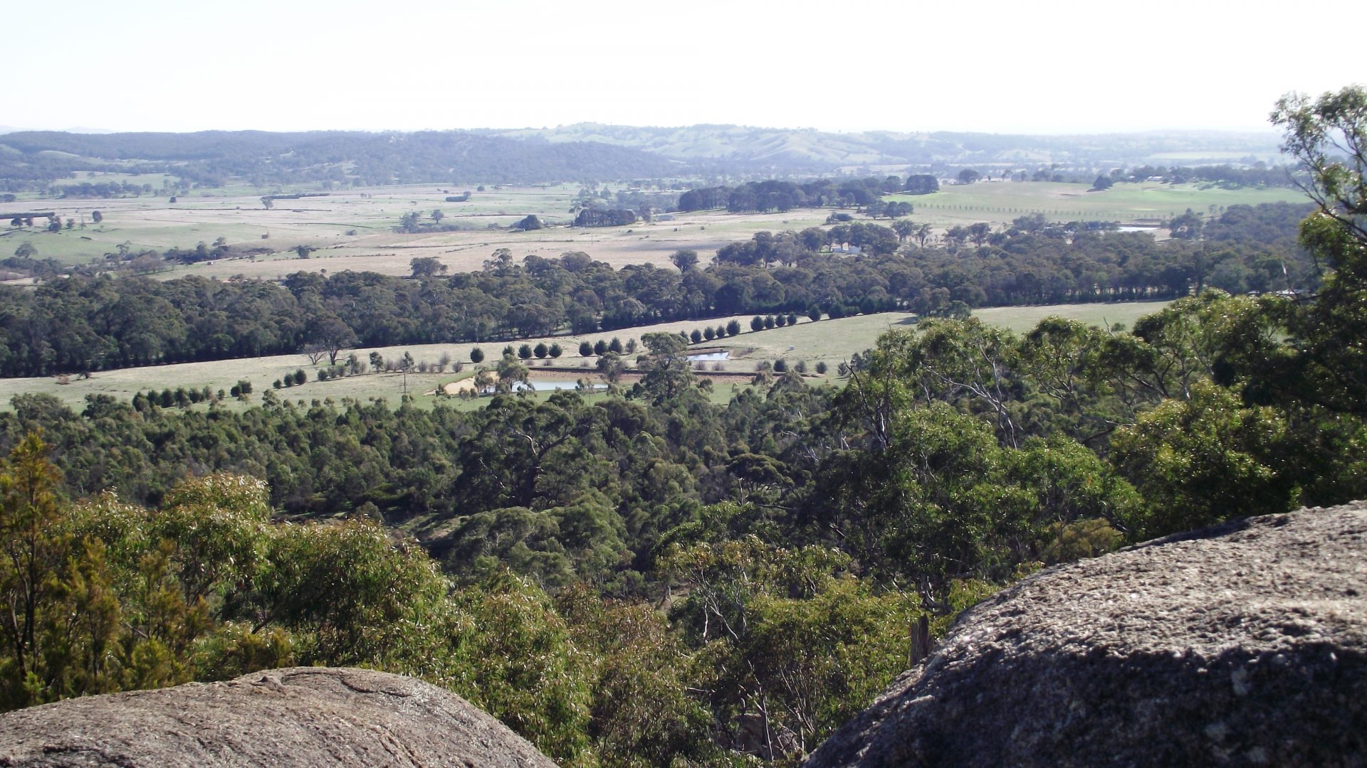
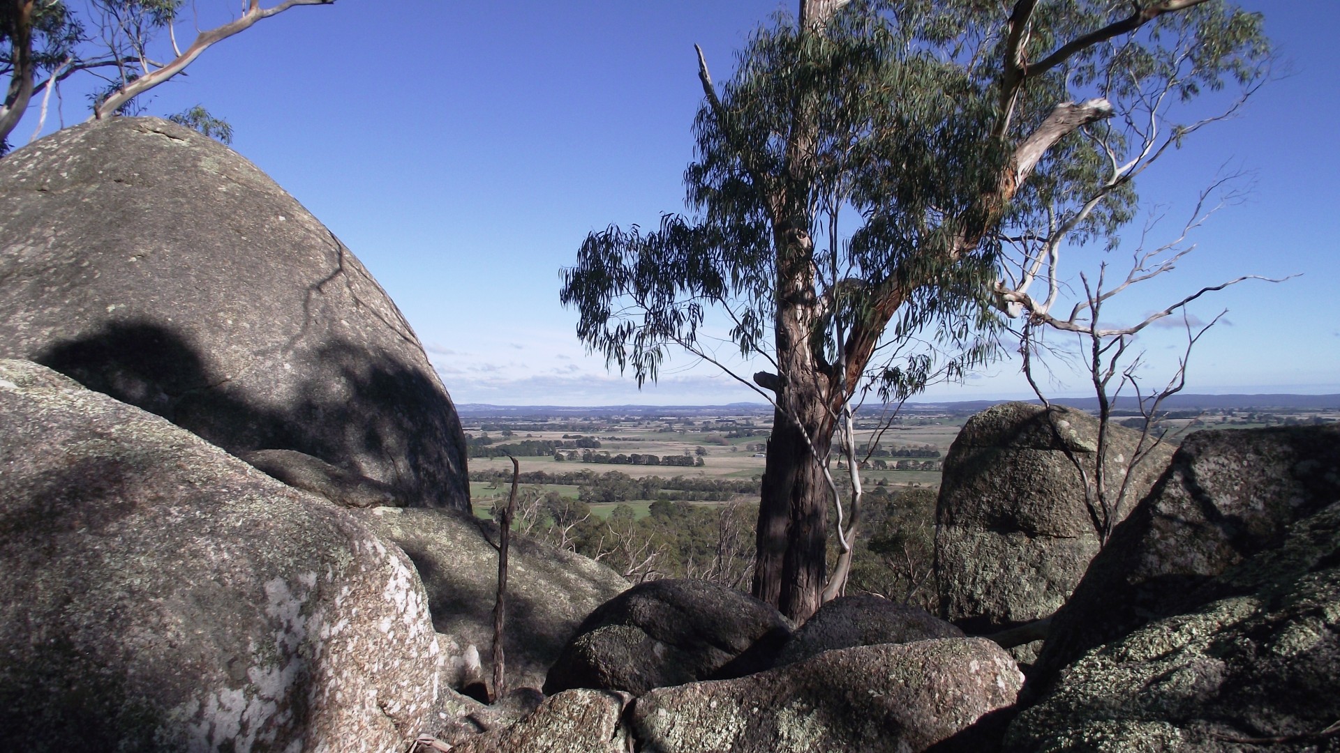
Ridge Track: A more strenuous 2.7 km walk with some steep sections and well over 250 steps along the way. Going clockwise you will have a short steep climb between points ‘I’ and ‘J’ shown on the map, then an enjoyable stroll along the ridge. Going counter clockwise, there is a longer more gentle climb between points ‘B’ and ‘K’. You will encounter lots of rock formations, huge granite boulders sculpted by erosion, particularly around Cave Rocks and the Eastern Lookout. Explore off the track near the summit for some great views.
Revegetated Area Track: An easy 1.7 km walk through an area where 17,000+ trees have been planted. This planting has restored an area quarried for gravel back in the 1950’s and 1960’s. This is a popular area for kangaroos seeking shade in hot weather.
Opening Hours
Open daily
